We have several upcoming items that are worthy of special mention, as they’re broadly relevant to our group and the larger community of RMBL researchers and our growing community of interagency (DOE, USGS, NSF, USFS, NOAA, NASA, etc.) partners. Details and points of contact below.
NASA JPL Airborne Snow Observatory (ASO):
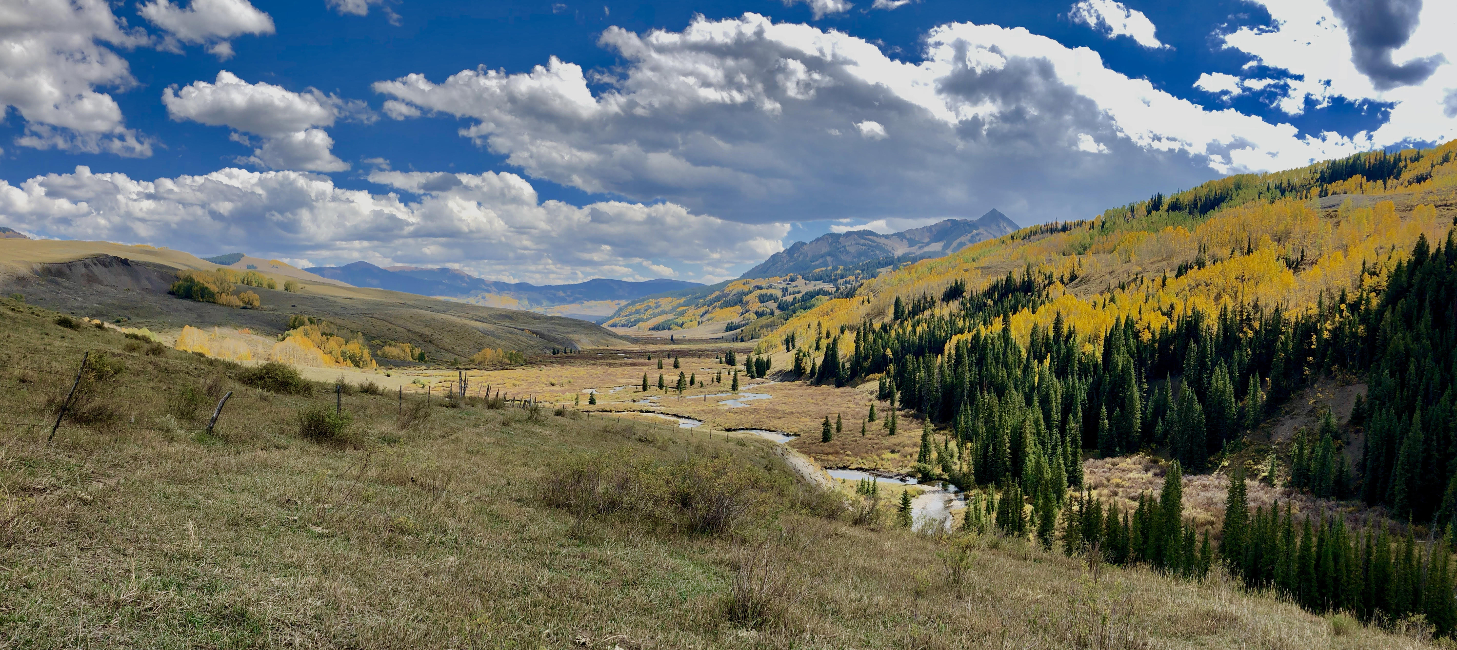
The NASA JPL ASO team conducted their snow-free survey of the Upper Gunnison domain last week, including essentially all of the terrain above the Ohio Creek/Gunnison River confluence. These data will enable retrospective snow depth and SWE mapping from the April 1 and May 24, 2018 flights this past spring, and set the stage for near-real time snow mapping in winter and spring 2019. This is a huge deal and incredibly important as we engage our collaborators with NCAR and NOAA on further developing a snow-focused computational testbed in the upper Gunnison.
Recall that this activity has been made possible through the vigorous engagement of the Upper Gunnison Water Conservancy District (thank you Frank and John) and with funding from the State of Colorado and champions at the Colorado Water Conservation Board (thank you Joe).
Also a reminder that this work is critically important to two of the three newly funded DOE SBR University snow science proposals at East River: Jeff Deems (CU) and McKenzie Skiles (Univ. Utah). So great news that this snow free-baseline dataset is now in hand.
NASA SnowEx:
I am excited to announce that the NASA SnowEx campaign will be active in the broader East River / Watershed Function SFA domain this winter and spring (2018/19). NASA SnowEx is coupled multi-year remote sensing and field experiment to develop and refine techniques for mapping terrestrial snow cover around the globe to address important water resources, water cycle, and climate feedback challenges. In 2017, SnowEx conducted intensive, month-long campaigns on Grand Mesa and in Senator Beck Basin in western Colorado. In 2019, SnowEx will leverage ongoing and planned observation activities around the western US to collect time series data of snowpack evolution throughout the accumulation and melt seasons in a diversity of snow climates at sites in CA, ID, UT, CO, and NM.
In the East River domain specifically, the SnowEx campaign will build on planned ASO flights (funded by the Colorado Water Conservation Board) and the aforementioned recently-funded DOE snow observation and modeling projects (see above; Deems, Skiles, Alejandro Flores [Boise State] PIs) and NSF (Raleigh [CU]), with the broader Watershed SFA activities adding valuable synergies. Additional ASO winter flights are being planned, as well as twice-monthly UAVSAR (L-band interferometer) overflights. These airborne acquisitions will be supported by regular ground observations and periodic extensive field campaigns to sample gradients in snow properties and processes.
At the risk of underselling this — this is a huge deal. Please contact Jeff Deems (deems@nsidc.org) with any questions!
Upcoming drilling activities:
Building upon our very successful drilling projects with USGS in Redwell Basin, we are planning to drill a collection of deep shale wells starting in early October to provide ground-truthing for both surface and airborne geophysical data collection. Drilling of four monitoring boreholes (40-70m deep) will occur to (a) recover shale bedrock for geochemical analysis and (b) provide long term sampling ports for evaluating seasonal changes in groundwater elevation and chemistry.
Equally as important to geological constraints, we’re pursuing a drilling campaign that folds in other extant RMBL researchers from the perspective of biogeochemistry.
As an NC State postdoc, Amanda DelVecchia (amanda.delvecchia@gmail.com) — in order to study geologic methane contributions to contemporary food webs — will be installing five 2″ diameter, 2 mm slotted PVC wells to bedrock on the lower East River (our “Pumphouse” location) using a Geoprobe this October. As part of this work, Amanda will be collecting methane samples from these wells and others for submission to collaborator Dr. Daniel Stolper (UC Berkeley) for analysis of clumped isotopologues.
So we have a busy October in front of us insofar as drilling is concerned!
Lastly — and this is purely for the geology and geocentric folks on this list — I wanted to provide a link to a remarkable document. It fleshes out Ferdinand Hayden’s original geologic surveys for the state of Colorado including the East River watershed from the late 1800’s.
Building upon the shoulders of giants is what we do — and with Hayden laying the geologic framework for Yellowstone, I’d say he qualifies — I’m including the link below.
https://haydenslandscapes.com/part-iii-elks-and-west-elks/east-river-gothic
This is so well done and with a focus on the East River and its environs from the late 1800’s, it’s hard to overvalue it.