Using process-based models and machine learning to understand water flow underneath beaver-induced inundation
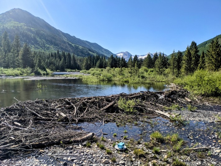
Image: A passive seismic instrument collecting data adjacent to a beaver dam on the Slate River, Colorado, USA. Photo is provided by Dr. Martin Briggs from USGS.
The Science
This study investigated how beaver-induced inundation affects groundwater in a mountainous floodplain in Colorado. By combining hydrologic datasets, geophysical surveys, groundwater modeling, and machine learning-based calibration, we quantified how water moves vertically from soils into gravel layers compared to down-valley flow. Results show that the ratio between vertical flux from soil to gravel and down-valley flow in gravel bed increases from only 2% during dry periods to 20% during wet periods with beaver ponds. Floodplain structure strongly controls groundwater storage and water quality impacts. Thick gravel layers with high downstream flow reduce the influence of beaver-induced inundation, while shallow soil layers increase vertical exchanges and potential water quality effects.
The Impact
The findings provide new insight into how beaver-induced inundation shapes groundwater responses, which is crucial for water management and restoration in the western U.S. Beaver-induced inundation significantly changes groundwater pathways, influencing water balance and potentially releasing or filtering nutrients and metals. The study also demonstrates how machine learning can reduce uncertainty in hydrologic models, offering a more reliable way to evaluate relevant ecological restoration projects such as beaver dam analogs. These results highlight that restoration outcomes depend on local floodplain structures, guiding managers to focus on site-specific soil and gravel properties when predicting beaver impacts on water quality and storage.
Summary
Beavers are well-known ecosystem engineers that expand wetlands, create ponds, and change surface water dynamics. Less understood is how these surface changes impact groundwater, especially in glaciated floodplains with layered soils and gravel deposits. At a Colorado study site, the research team monitored hydrology across wet and dry periods, built detailed subsurface structures from geophysical surveys, and ran hundreds of groundwater model simulations. They calibrated these models using a neural density estimator, which provided robust estimates of uncertain parameters like soil and gravel bed hydraulic conductivity.
The models revealed that groundwater responses vary strongly with season and floodplain structure. When beaver ponds were present, vertical infiltration of water into gravel layers increased by nearly an order of magnitude compared to dry conditions. This greater exchange can influence water chemistry, sometimes enhancing nutrient removal but also potentially releasing metals from anoxic soils. Meanwhile, large gravel beds with strong downstream underflow minimized vertical flux impacts, buffering water quality changes.
The study concludes that characterizing floodplain structure and evapotranspiration dynamics is critical for reducing uncertainty in groundwater response. Beyond beaver ecology, this approach demonstrates how model-data integration and machine learning calibration can improve hydrologic predictions in complex natural systems.
Contact
Lijing Wang, Assistant Professor, Department of Earth Sciences, University of Connecticut; Affiliated Faculty, Lawrence Berkeley National Laboratory lijing.wang@uconn.edu
Eoin L. Brodie, Watershed Function SFA LRM
Lawrence Berkeley National Laboratory
Publications
Wang L., et al., Quantifying Groundwater Response and Uncertainty in Beaver-influenced Mountainous Floodplains using Machine Learning-based Model Calibration, Water Resources Research (2025) [DOI:10.1029/2024WR039192]